

Weems & Plath Imray Chart - St. Lucia
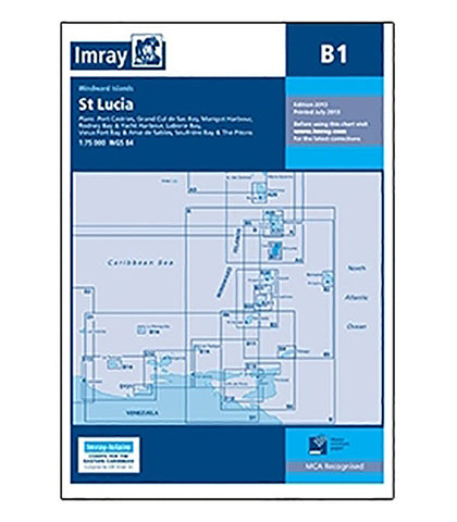
This Imray-Iolaire waterproof chart features large-scale insets of harbors and bays on St. Lucia Island, one of the Windward Islands in the Caribbean Sea. This St. Lucia chart includes insets of Port Castries, Grand Cul de Sac Bay, Marigot Harbor, Rodney Bay and Yacht Harbor, Laborie Bay, Vieux Fort Bay and Point Sable Bay. The chart is printed in color and uses official surveys and notes based on local knowledge.
- Printed in color on treated, water-resistant paper
- Folded for efficient storage
- Includes protective plastic sleeve